
Whether you're buying property in Tallahassee, preparing to build, or researching your boundaries, it's important to understand plat maps and land survey records—especially here in Leon County where parcels range from suburban lots to large tracts of rural land.
At Nunamaker Land Surveying, we work with these documents every day and help property owners navigate the details that can make or break a project. Here’s your quick guide to understanding plat maps and surveys in Tallahassee, FL.
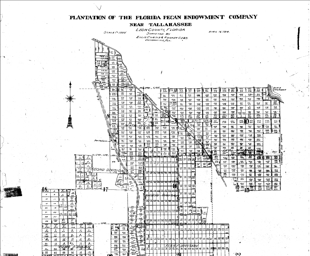
A plat map (also called a subdivision map or plat of survey) is a detailed drawing that shows how a larger piece of land has been divided into lots, blocks, roads, easements, and other features. Plat maps are filed with the Leon County Clerk of Court and serve as legal records of property divisions.
They typically show:
For buyers, builders, and developers, plat maps are essential for confirming that:
If you’re buying or developing property in Tallahassee, you can find plat maps through:
However, keep in mind that plat maps don’t always tell the whole story. They can be outdated or unclear—especially for older subdivisions or rural land that was never formally platted. That’s where a professional boundary survey comes in.
While a plat map is a public record of how land was divided, a land survey is a legally certified measurement of the current conditions on the ground.
Survey records include:
At Nunamaker Land Surveying, we often use plat maps in combination with recorded deeds, title reports, and field surveys to provide an accurate, current picture of a property.
In fact, many Tallahassee properties—especially older homes in neighborhoods like Myers Park, Midtown, or Frenchtown—may have discrepancies between recorded plat maps and what's actually on the ground.
In a place like Tallahassee, where development spans everything from historic districts to wooded acreage, accurate surveys can help:
✅ Confirm or clarify property lines
✅ Resolve disputes with neighbors
✅ Avoid building over easements or setbacks
✅ Meet permitting requirements
✅ Prepare for construction or subdivision
If you're buying land or planning to build, you’ll likely need both a boundary survey and a review of any relevant plat or deed records to ensure you have a full understanding of what you’re purchasing.
Thinking about splitting a lot or developing land? You'll need a current survey and a new plat filed with the Leon County Growth Management Department. This process typically involves:
We frequently help clients through this process—handling everything from the legal descriptions to site layouts and submission paperwork.
At Nunamaker Land Surveying, we’ve spent over 25 years helping property owners, builders, real estate agents, and developers in Tallahassee understand and navigate land records.
We know the quirks of Leon County land records, how to interpret old plats, and how to deliver accurate, professional surveys that stand up to legal and regulatory review.
If you're unsure what your plat says, or need a professional survey to confirm boundaries, call the experts at Nunamaker Land Surveying.
📞 Call today at [850-228-7988]
🌐 Visit us at https://www.nunamakerlandsurveyors.com
📍 Proudly serving Tallahassee, FL and all of Leon County